04 Traffic information
General
04
58
Display and reception
Traffic information that is transmitted is
always received and presented, irrespective
of whether
Easy or Advanced user settings
are selected.
The settings for how traffic information should
be presented can only be changed in
Advanced mode, see page 34.
The presentation of traffic information also
depends on how it is transmitted.
NOTE
Traffic information is not available in all
areas/countries.
The traffic information transmission areas
are constantly being expanded.
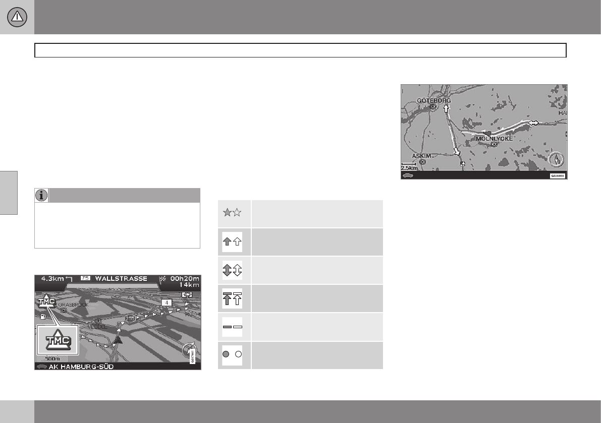
Traffic symbols on the map
Symbol for traffic message.
A symbol is shown in the upper left-hand cor-
ner of the map when there is at least one traf-
fic message along the itinerary's route. The
traffic problem can be scrolled forward using
the navigation button in order to see its
position and nature.
Traffic problems are marked with symbols,
lines and frames. These are coloured red or
yellow.
Red - Important information.
Yellow - General information.
Accident
Slow traffic
Slow traffic in both directions
Stationary traffic
Area message
Other information
Extent
Certain traffic messages also contain infor-
mation on the extent of the traffic obstruction.
On all scales up to 5 km the extent is marked
with a red or yellow line along the route affec-
ted. The length of the line is corresponds to
the extent (distance) of the traffic problem.

